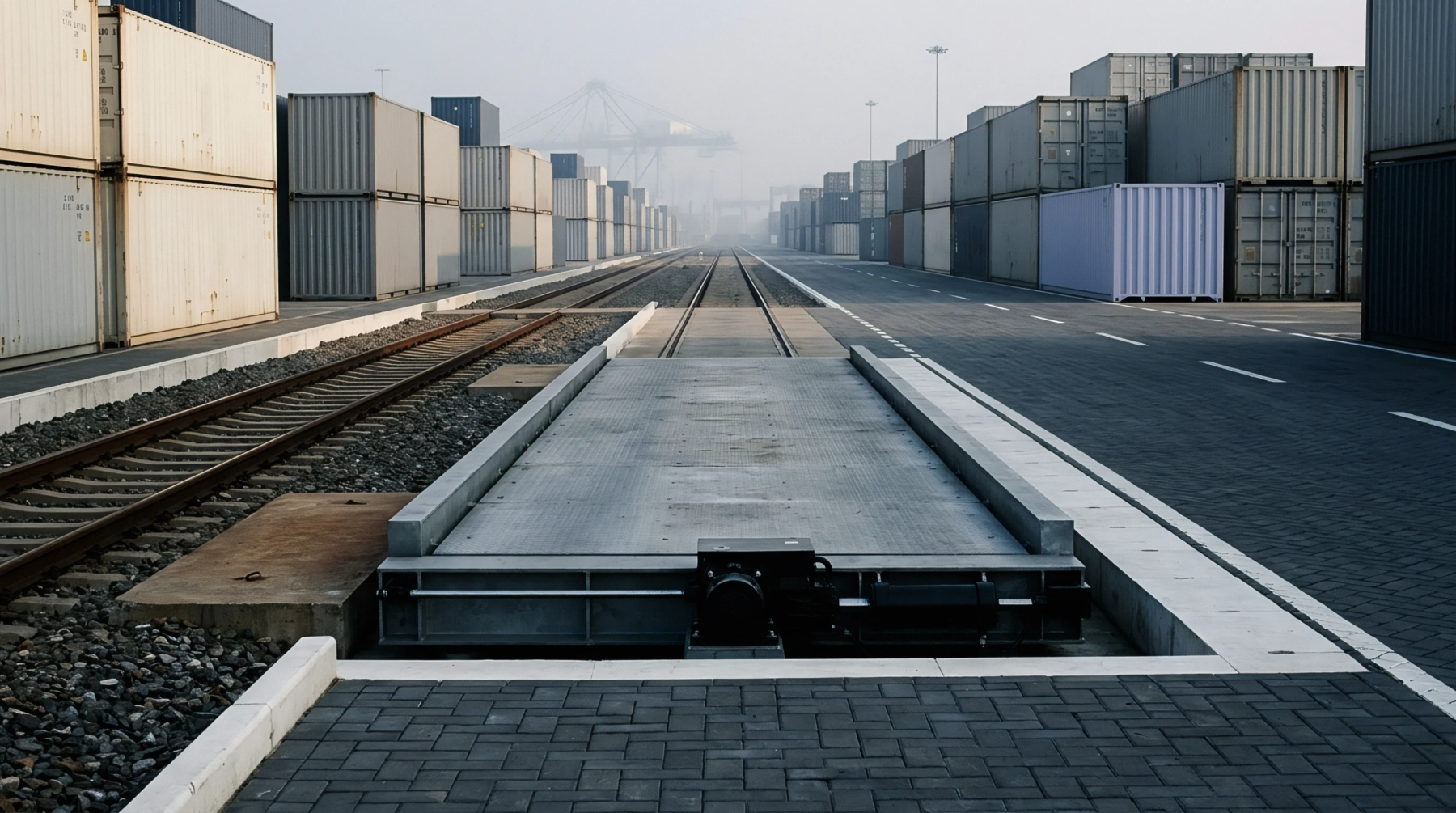
New European Rail Freight Corridor Expansion Shortens Central Asian Import Lead Times
European rail upgrades create a fifteen percent capacity increase for cargo bypassing traditional sea routes from Central Asia.
Geographic alignments of maritime and overland movement define trade routes by establishing the permanent paths through which commercial cargo travels between production hubs and consumer markets. Physical topography, sovereign borders and historical infrastructure investments determine these corridors, marking the physical tracks that carriers follow across oceans and continents. Geography dictates the layout, yet economic density drives the frequency of transits along every specific arc.
Ocean currents and narrow chokepoints restrict these alignments, creating fixed maritime paths that shipping companies cannot easily alter without incurring severe time penalties and heavy fuel costs. Overland connections depend on rail gauges and highway networks, bounding the geographic limits within which heavy transport moves overland. Shippers track these corridors to anticipate transit times, while logistics planners measure fuel consumption against weather patterns along each path.
Seasonal ice and geopolitical friction modify the viability of these alignments, forcing operators to divert vessels or trains onto alternative tracks when primary passages close.
Cargo weight and container counts shift constantly along established trade routes, driven by industrial output cycles and consumer demand swings that freight forwarders monitor weekly. Economic forecasters measure these shifts to gauge regional manufacturing output, distinguishing actual physical movement from contracted booking volumes that carriers often cancel when factory orders drop. Seasonal harvests and holiday manufacturing rushes create predictable surges, whereas sudden tariff changes or labor strikes generate abrupt drops in cargo movement.
Port authorities record daily throughput numbers to adjust crane allocation and berth availability, responding to sudden congestion caused by bunching vessel arrivals. Carriers adjust their vessel deployment frequencies when cargo volumes decline on specific paths, withdrawing ships to protect freight rates from collapsing under excess capacity. Market analysts separate preliminary bill of lading data from final customs clearance figures, correcting initial overestimates once inspectors verify the actual contents of arriving containers.
Shipping lines schedule fleet deployments across trade routes based on bunker fuel prices and vessel charter rates, balancing operating expenses against projected freight revenues on each voyage. Fleet managers determine whether to deploy ultra large container ships or smaller feeder vessels depending on port draft restrictions and cargo demand density along the corridor. Operational decisions prioritize transit speed when high value goods fill the holds, whereas slow steaming practices take precedence when fuel economy outweighs delivery urgency.
Industry executives evaluate alliance agreements to share vessel capacity, spreading financial risk across multiple operators while maintaining scheduled sailing frequencies for major industrial shippers. Port rotation schedules dictate the order in which cargo is loaded and discharged, maximizing vessel utilization rates throughout the entire round trip. Vessel operators continuously reevaluate their service loops when canal tolls increase or bunker surcharges escalate, adapting commercial strategies to protect profit margins against volatile macroeconomic conditions.
European rail upgrades create a fifteen percent capacity increase for cargo bypassing traditional sea routes from Central Asia.
Expertise is a utility, not a secret. sentiention™ publishes its working knowledge as open reference: intelligence layer covering the materials it sources, the markets it enters, and the reference that serves both.